
Find Who Is Tied to a Rocky Hill Street
A Rocky Hill street directory is most reliable when it follows a fixed trail. An address can lead to a property card, but the card describes assessment data. A map can reveal a parcel, but the map is not a survey. A deed names parties to an instrument, but it does not list every person who stays at a location. The goal is to connect a street clue to the right official record while keeping those distinctions intact.
Use the following walkthrough for a current Rocky Hill address. It is designed for lawful personal research, family history, parcel questions, or checking a public office route. Stop when the source cannot support the next claim.
- Enter the exact street number, town, state, and unit in the USPS address lookup to normalize delivery spelling.
- Choose the matching street in the Rocky Hill property-card portal and search by number, unit, owner last name, MBL, or unique identifier.
- Open the town GIS to compare the parcel ID, street label, and nearby public map features. Keep the map disclaimer in the notes.
- Carry the MBL or displayed owner name to SearchIQS Rocky Hill and record the deed index fields that actually appear.
- Use a voter, court, license, or historical source only when its record question fits. If the question changes to one person, the Rocky Hill resident lookup has the narrower verification workflow.
The last step is a stop point, not an invitation to assemble a complete household profile. A name-only match, a protected address, or a result with no clear date should be left as unresolved.
Rocky Hill Street Records Coverage
In Rocky Hill, several address-keyed record sets can support a Rocky Hill street directory. They do not carry the same time depth or meaning. The assessor and GIS are municipal orientation tools. SearchIQS and the Town Clerk are the land-record route. USPS validates postal formatting. The Registrar and SOTS handle election records with special privacy rules. A historical directory or map can show a past listing, not a current street roster.
| Record set | Address key | What it can establish | Access route |
|---|---|---|---|
| Property card | Street, number, unit, MBL, unique ID | Displayed assessment owner and parcel fields | Online card search, Assessor |
| GIS map | Street number, owner last name, parcel ID | Parcel position, layers, nearby map context | Town GIS instructions |
| Land index | Grantor, grantee, legal description, instrument | Recorded instrument parties and chain clues | Town Clerk and SearchIQS |
| USPS route | Street line, unit, city, state, ZIP | Delivery formatting only | USPS lookup and post office help |
| Historical listing | Printed street and year | A dated directory or map appearance | RHHS, State Library, LOC, archives |
That division keeps the address method useful without claiming that a property owner, deed party, voter entry, or historical telephone listing is the same person. A formal boundary or title question belongs with the recorded map, surveyor, or Town Clerk, not the assessment map alone.
Note: SearchIQS showed a guest, account, and subscription route, but its unattended guest form did not expose a sample Rocky Hill deed row.
Limits on a Rocky Hill Street Directory
A Rocky Hill street directory cannot show every occupant. Household members, relatives, visitors, unlisted phone users, and people whose records are suppressed may not appear in the sources at all. A deed can reflect a trustee, executor, spouse, LLC, or attorney rather than a person who lives at the parcel. A voter record can be inactive or protected. A past directory listing can remain useful for history while saying nothing about today.
Lawful street research. Use address-keyed records for personal research, family history, parcel understanding, and civic information. Do not use a Rocky Hill street directory to stalk, harass, intimidate, or track anyone. If an address is protected or a source suppresses it, stop the search and do not triangulate through another record.
Rocky Hill’s voter privacy route can suppress a name and street or house number when disclosure creates danger. The Address Confidentiality Program uses a substitute mailing address for eligible participants. A protected voter entry is not proof that someone moved, and a substitute address must never be reconciled with a parcel map for publication.
Normalize Rocky Hill Street Names
In Rocky Hill, the property-card street dropdown is a practical local address key. It preserves extensions and older roadway labels that a free-text web search can miss. Examples include Elm Street Extension, Lake Drive Extension, Old Dividend Road, Old Main Street, Terry Lane Extension, Ten Rod Highway, and Twenty Rod Highway. Use the portal’s spelling before trying variants in a deed or directory search.
For Rocky Hill, keep five address strings in separate notes: the supplied line, the USPS-standardized line, the assessor street and unit, the parcel or MBL, and the legal description from a recorded instrument. A ZIP is a delivery field, not a parcel key. A town GIS label may also omit the postal city or show a map label from another update cycle.
The research did not locate a Rocky Hill-wide street-renaming or renumbering chronology. When an older directory does not match a current line, ask the Town Clerk, Assessor, Planning and Zoning, Highway Department, State Library, or Rocky Hill Historical Society. Do not state a renumbering year without an official source.
Rocky Hill Street Search Fields
Rocky Hill’s property-card portal gives this street search its most detailed field set. Property Search accepts an owner name in “Last First” form, a location with number, street dropdown, and unit, an MBL, a unique identifier, or a condominium complex. No field was marked required in the inspected screen. A last-name-only search can work better than a full-name entry, but every result still needs a second identifier.
| Portal field | Use and caution |
|---|---|
| Owner Name (Last First) | Search the displayed assessment name; it is not an occupancy field. |
| Location (#/Name/unit) | Choose the exact street label, then retain number and unit. |
| MBL | Use the municipal map-lot reference to bridge records. |
| Unique Identifier | Use the portal key when a street has repeated numbers or units. |
| Condominium Complex | Keep complex and unit separate because several records can share a street line. |
Rocky Hill’s inspected result columns were Street Name, Number, Unit, Name, Uniqueid, MBL, Property Use, Acres, Zone, Buildings, and Condo Complex. The portal also offers Sales Search controls for date, price, zone, design, rooms, and other parcel fields. Those controls support property history, not a list of people who reside on a street.
The Rocky Hill Assessor page supplies the office fallback when an address needs a field-level explanation.
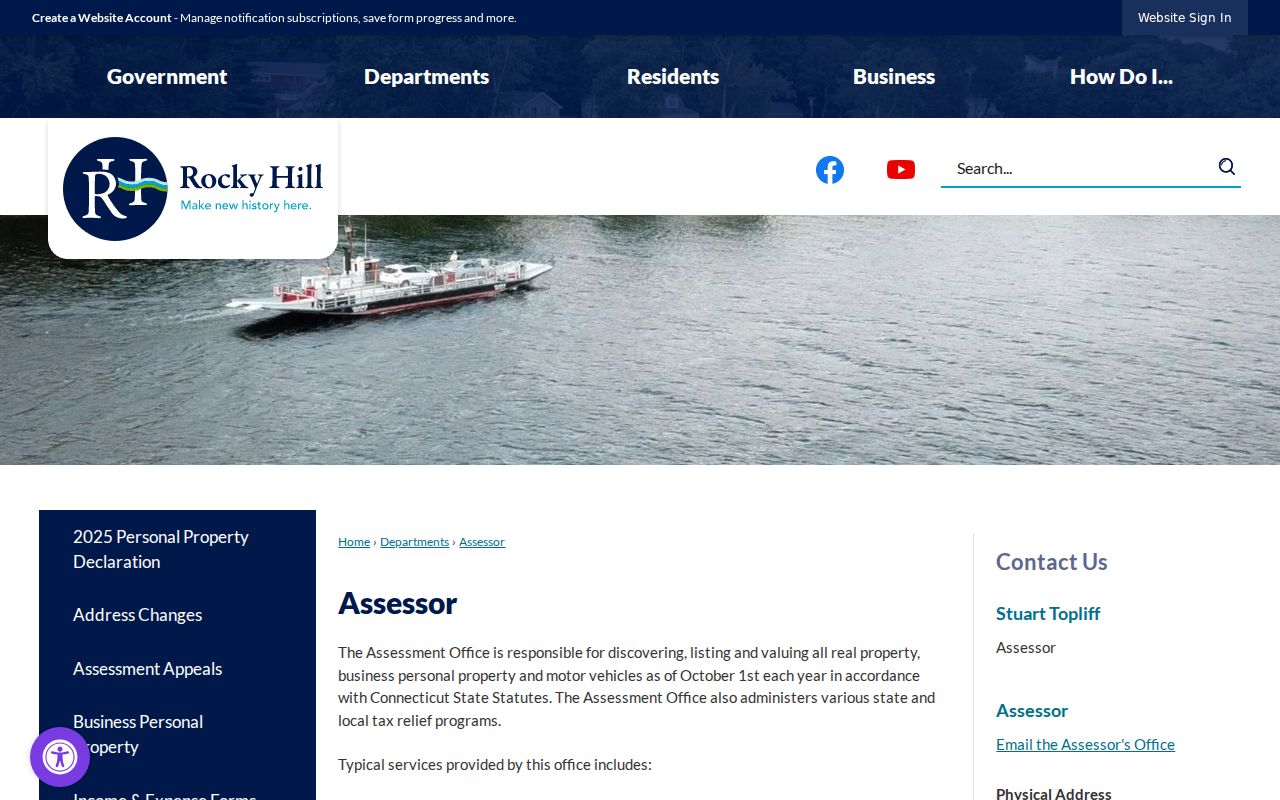
The local office link keeps the field list tied to the town’s own assessment route rather than a general parcel search.
Rocky Hill Street Parcel Clues
For Rocky Hill, use an MBL or unique identifier whenever the street line is crowded with units, condo names, or similar numbers. The card portal’s complex list includes names such as Highridge Estates, Ferry Landing, Raintree, Shipman Crossing, and Village Center, with some labels abbreviated. Match the exact complex and unit instead of treating a street line as one parcel.
Rocky Hill results can also carry acres, zone, building count, property use, and sales fields. These are useful context for a parcel question, but a property-use label such as Residential, Office, or Vacant Land does not prove who is present. A blue street name is the detail route. Copy only the fields needed to continue to GIS or the deed index.
The Rocky Hill Online Property Record Cards page routes to the live search. The card search displayed records updated 08/20/2026 and a 2023 revaluation note. Keep that date beside any quoted field because the assessment portal is a changing source.
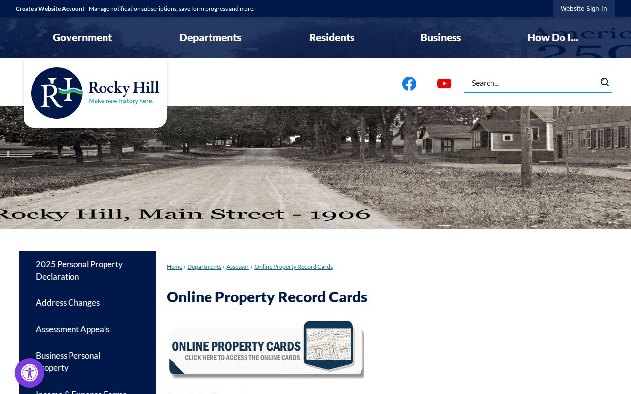
A record card is a bridge to the parcel. It is not a substitute for a recorded deed, a survey, or an occupancy record.
- MBL
- Municipal map, block, and lot identifier used to match a parcel across town systems.
- Unique ID
- A portal-specific parcel key that can disambiguate similar street and unit entries.
- Condo complex
- A named property group whose units still need their own number and record key.
- Legal description
- The deed language that controls an instrument’s land description when a map label differs.
Rocky Hill Street GIS Layers
Rocky Hill’s GIS instructions say to click Find, then search by an owner’s last name, a parcel map-lot-unit such as 10-045, or a street name and number. The Layers tab toggles map layers. That makes GIS a useful way to orient a street, locate an adjacent parcel, or carry an MBL to the property card.
In Rocky Hill, the same official page warns that the map is for assessment purposes and is not a legal survey. A boundary question belongs to a recorded plan, deed legal description, or surveyor. The map can be stale or generalized, and its layer set was not fully exposed during the unattended inspection. Preserve the page date and the layer name before relying on a visual feature.
For a street directory, the flow is simple: USPS line, assessor street choice, MBL or unique ID, GIS parcel, then Town Clerk instrument. If the parcel cannot be reconciled, stop at the mismatch. A map should help explain a record, not become a tool for collecting a street-wide roster.
The Rocky Hill Online Property Maps instructions show the Find and Layers route.
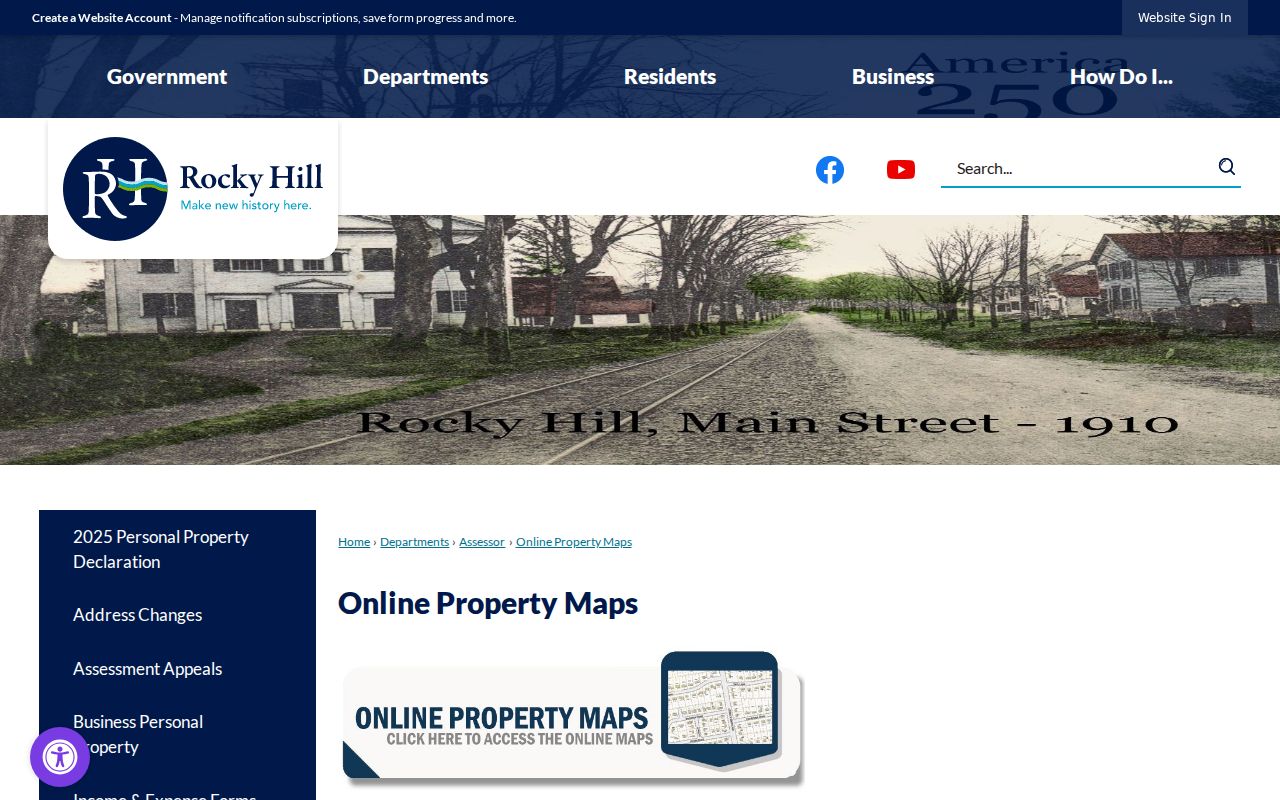
The screenshot’s value is procedural: it shows which key the town expects before a map result can be checked against a card or deed.
Deeds Along a Rocky Hill Street
The Rocky Hill Town Clerk, not Hartford County, is the recorder for land in Rocky Hill. The Land Records page links to SearchIQS, which visibly offers guest, account, subscription, and login routes. The initial page did not show the dynamic guest fields or an online start year. Use the portal as a lead, then ask the clerk about a counter search or copy when a result is gated.
For each Rocky Hill instrument, record grantor, grantee, deed type, recording date, book and page or instrument number, legal description, map reference, and any mortgage or release reference. A chain can run from current grantee to prior grantor and then to an estate, trust, LLC, or earlier deed. A representative may sign without living at the address.
The town lists recording fees separately from copy fees. A deed copy is $1 per page, with $2 for certification. Maps, subdivision maps, and original-size copies have different amounts. Ask for an estimate and identify the exact instrument range. A title opinion belongs with a title professional, not a street-directory summary.
The SearchIQS Rocky Hill landing page shows the available access paths.
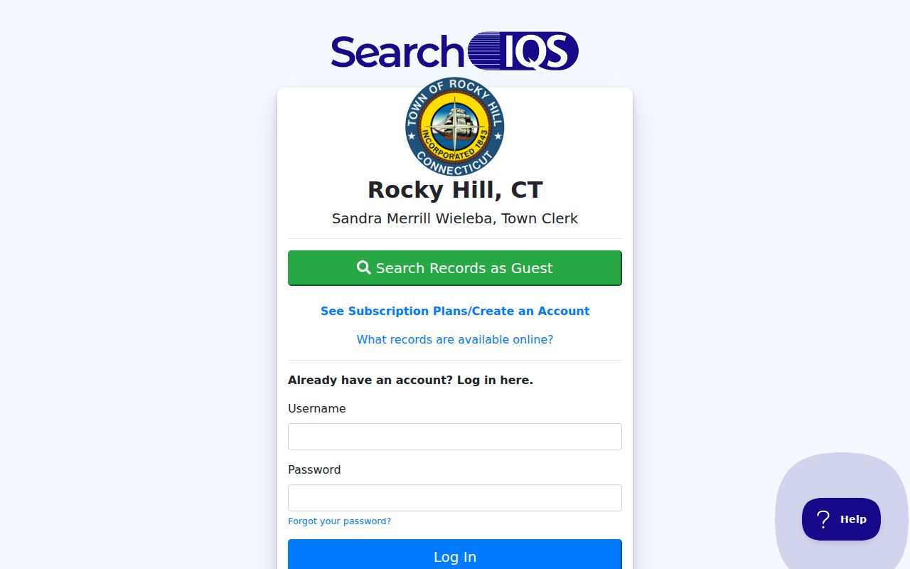
The account and guest choices are an access note. They are not proof that every image or every year is freely viewable.
Note: A deed party is evidence about an instrument; label it that way instead of writing that the person lived at the address.
Rocky Hill Street History and Occupancy
A Rocky Hill street-directory question often shifts from “who owns this parcel?” to “who was listed here?” Those are separate questions. Ownership can be followed through deeds and assessment records. Occupancy clues may come from a telephone directory, newspaper, obituary, census, or local-history collection. Each clue needs a year and a source page.
The Rocky Hill Historical Society and State Library are the best documented archive routes. The Library of Congress regional reels include Rocky Hill in locality indexes for 1930-1933 and explicitly list Rocky Hill and West Rocky Hill for later New Britain reels. Use the actual printed entry, not just the locality index. For pre-1843 records, search Wethersfield and Stepney Parish.
When the goal is a household across time, the Rocky Hill city directory page owns the historical collection detail. The street directory should keep its focus on current address-keyed sources and link rather than rebuild the historical shelf.
Rocky Hill Street Records and Incidents
A Rocky Hill street can be associated with a credential or a dated incident without the record being a resident source. Connecticut DCP eLicense searches license type, prefix, number, status, business name, personal name, and address fields. The DCP license-verification instructions explain how to read the state result. Business filings use legal names, Business IDs, principals, agents, and filing dates. Keep an organization’s role distinct from the property card’s displayed name.
The Rocky Hill Police Records Division handles accident reports and local records. The accident route asks for last name, date, and report number, with an in-person or mail fallback. The town lists $0.50 per page and usually 5-10 business days unless an investigation is active. Dismissed or erased matters are not available under CGS §54-142a. Request only the incident and date needed.
These sources can help verify a public record route, but they should not be turned into a street list. A credential has a status date. An accident report has an incident date. Neither answers who lives along the whole street.
Rocky Hill Street Notices and Places
Rocky Hill public works notices can explain why a street visit or map view looks different on a particular date. A December 15, 2025 CivicAlert announced an 18-month Silas Deane Highway corridor study with Wethersfield, CTDOT, and CRCOG. A Town Line Road and Silas Deane watermain update was posted April 2, 2026. These notices are context, not evidence of a household.
The Connecticut River Ferry project notice described work through April 21, 2026, including fencing, sidewalk, and lighting changes. Because that completion date has passed the research snapshot, status should be rechecked before publication. A project may affect access or signage without changing a deed’s legal description or a parcel’s identity.
For a street directory, preserve the posted date, affected roadway, agency, and current status. Do not copy private comments or abutter details from an alert.
Rocky Hill Street Record Copies
When SearchIQS does not expose the needed image, use the Rocky Hill Town Clerk at 761 Old Main Street, 860-258-2705, fax 860-258-2721, Monday-Friday 8:30 a.m.-4:30 p.m. Ask whether a public terminal, index print, non-certified copy, or certified copy fits the question. Include the street, MBL, instrument number, or narrow date range.
For a Rocky Hill written Connecticut Freedom of Information Act request, identify an existing record, date range, format, contact, and fee estimate. The FOI route does not override protected voter, vital, sealed, erased, juvenile, victim, or DMV data. A clear denial should identify the exemption, and a FOIC appeal has its own deadline.
The official Rocky Hill Land Records page is the source for fee and e-recording details. Use it again before sending payment because recording, map, certification, and copy amounts are not interchangeable.
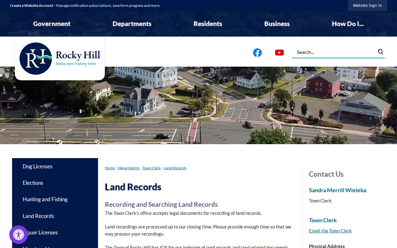
The land-record route closes the street workflow at the correct custodian. It does not convert a parcel record into an all-purpose resident profile.