
Looking Up Your Rocky Hill Neighbors
A Rocky Hill block lookup works best when every row answers a place question. GIS can show adjacent parcels and layers. A property card can show a displayed assessment name and parcel fields. A recorded plan can define a subdivision. A civic alert can explain a road project. A historical society source can identify a public landmark. None of those should be flattened into a roster of everyone nearby.
| Source | What it shows about a block | Access |
|---|---|---|
| Rocky Hill Online Property Maps | Subject and adjacent parcel geography, roads, and visible layers | Town GIS, assessment-only |
| Property record cards | Street, number, unit, MBL, unique ID, use, acres, zone, buildings, complex | Online card portal |
| Recorded maps and deeds | Subdivision, legal description, instrument parties, boundary references | Town Clerk and SearchIQS |
| Public place records | Library, cemetery, Academy Hall, ferry, schools, roads, parks | Town, RHHS, and State sources |
| CivicAlerts | Dated road, watermain, ferry, corridor, and community notices | Individual alert pages |
For Rocky Hill, the table keeps neighbors in a geographic frame. It gives a reader a way to understand a block without publishing a list of private names, phone numbers, or exact personal locations.
A Rocky Hill neighbors lookup is strongest when it describes the parcel relationship and public context, not a roster.
Map a Rocky Hill Neighbor Block
The Rocky Hill town GIS workflow begins with one known address. Use the subject parcel as the anchor, then inspect the minimum surrounding context needed for the question. The map’s Layers control can separate parcels, roads, public facilities, water, and other visible layers. Capture the caveat and date with any screenshot.
The Rocky Hill process is a controlled flow:
- Normalize the street and unit with USPS, then choose the Rocky Hill street spelling in the card portal.
- Find the subject parcel by street number, owner last name, or map-lot-unit and record its MBL or unique ID.
- Open GIS Layers and note adjacent parcel IDs, public roads, and public places without exporting a block roster.
- Use the assessor card for only the public fields needed, then compare a recorded map or deed when a boundary matters.
- Describe the block through geography and public context. Stop before copying unnecessary nearby personal details.
- Keep neighbors as a geographic label unless an official source clearly supports a more specific public fact.
The official Rocky Hill map is for assessment purposes and is not a legal survey. If GIS, card, deed, and USPS strings disagree, report the mismatch to the Assessor or Town Clerk.
Rocky Hill Neighbor GIS Records
The Rocky Hill Online Property Maps page says Find can use a street number and name, an owner last name, or a parcel map-lot-unit such as 10-045. The Layers tab can add map context. The live layer list and parcel-detail view were not fully exposed in the unattended inspection, so a later capture should preserve the visible layer names and assessment disclaimer.
The Rocky Hill assessor’s result schema includes Street Name, Number, Unit, Name, Uniqueid, MBL, Property Use, Acres, Zone, Buildings, and Condo Complex. For a neighbor question, use those fields to label a subject parcel or public landmark, not to assemble a complete nearby-person list. A condominium complex name can normalize a unit address, but it is not proof of a household.
When the Rocky Hill GIS viewer is down, request a public parcel map from the Assessor, use a public terminal, or ask the Town Clerk for a recorded map by map and lot. A FOI request may target a public map layer or export, subject to fee and format.
Rocky Hill Neighbor Parcel Records
Rocky Hill’s property-card portal has separate number, unit, MBL, unique ID, and condominium-complex fields. That matters on a block where several records share a street line. The complex dropdown includes labels such as Apple Grove, Ferry Landing, Highpoint, Raintree, Shipman Crossing, The Oaks, Village Center, Westage, and Woodside. Match the portal’s exact spelling and keep the unit attached.
A Rocky Hill street directory can use the MBL to move from GIS to a card, then to a recorded map or deed. It should not use the MBL to infer who is inside a building. Property-use choices such as residential, commercial, industrial, office, retail, restaurant, and public use describe a parcel category, not a person’s role or daily activity.
- Adjacent parcel
- A parcel shown next to the subject parcel on a map, not automatically a person or household.
- Unit
- A separate address component that can distinguish a condominium or multi-unit record.
- Recorded plan
- A filed map or subdivision document that carries stronger legal boundary weight than a GIS display.
- Layer
- A map dataset that adds roads, parcels, public places, or other context at the time displayed.
Rocky Hill Neighbor Block Records
Rocky Hill GIS gives orientation. A recorded subdivision plan, deed legal description, or survey controls a boundary question. The Town Clerk’s land-record route can lead to deeds, maps, mortgages, releases, liens, and subdivision material. SearchIQS offers guest, account, and subscription paths, but its dynamic guest search did not expose a sample row in the research inspection.
Carry the Rocky Hill subject parcel’s MBL, unit, map reference, and street line into the clerk request. Ask for the specific plan or instrument rather than “all records about the neighbors.” Town map and copy fees differ by format, so request a price before a long reproduction order.
Historic maps can add time depth. The Library of Congress Sanborn catalog identifies a 1950 Rocky Hill set with 10 sheets. The Connecticut map folder at LOC covers Rocky Hill and Sharon across an approximately 1640-1970 span, though not every item is digitized. A historic sheet describes a period built environment, not current ownership.
Rocky Hill Neighbor Place Records
Rocky Hill public places make a block understandable without naming private neighbors. Center Cemetery is town-owned and maintained and has a searchable database. Academy Hall Museum and RHHS holdings provide historic-place context. Cora J. Belden Library, Town Hall, schools, the ferry landing, parks, and public roads are other fixed anchors identified in the research.
The official Center Cemetery page documents a place and access route. The cemetery can support an older history question, but a burial entry is not proof that a living relative occupies a nearby parcel.
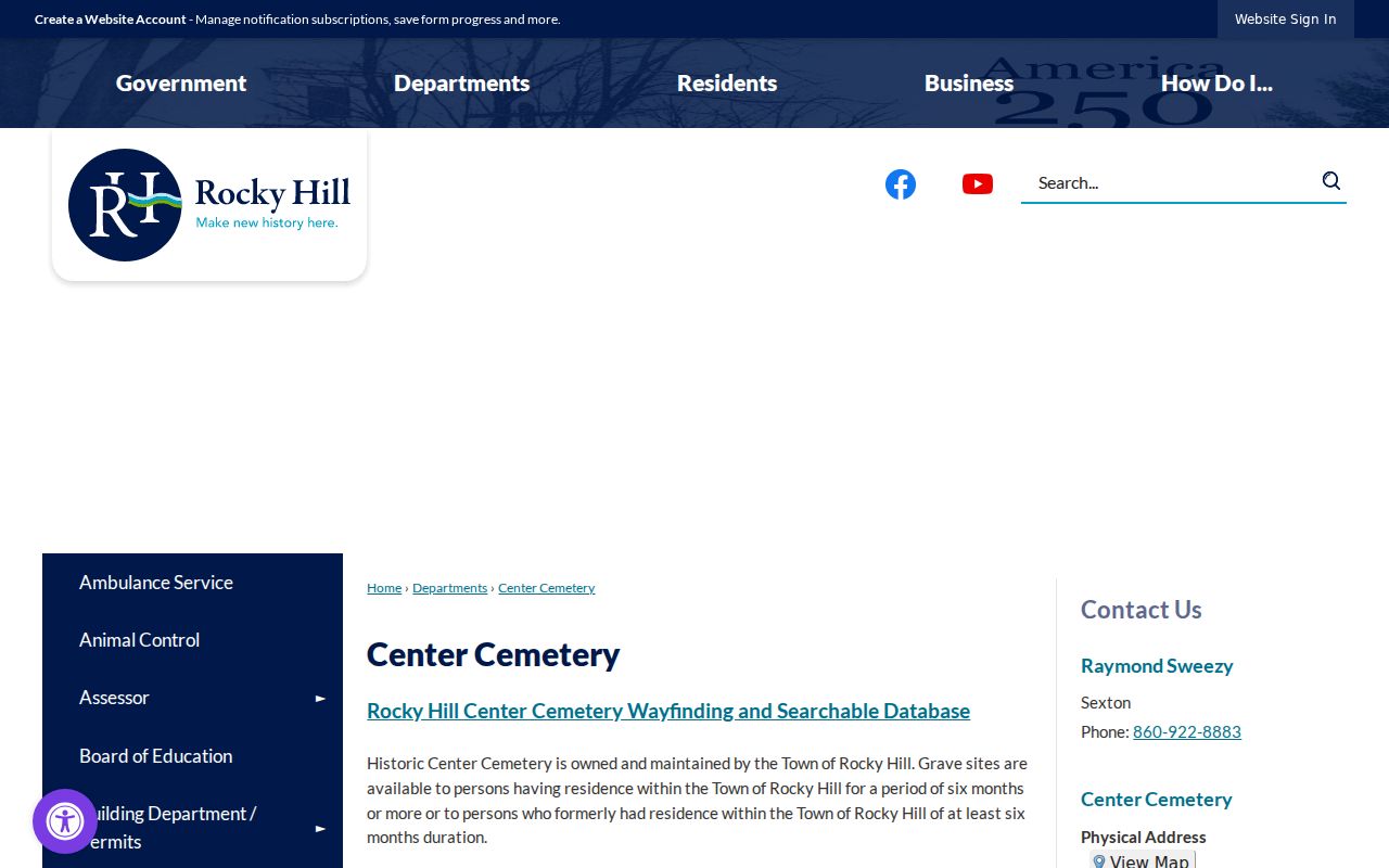
A fixed public place gives the block narrative a safe reference point. It does not turn the surrounding parcel records into a neighbor list.
Rocky Hill Neighbor Voter Records
A Rocky Hill voter lookup can answer a person’s own registration or polling-place question, but it is not a safe source for publishing everyone on a street. SOTS maintains the centralized system and local registrars produce the official registry list. Current guidance leaves year of birth in the public file while exempting month and day. The statewide file request has a $300 fee and use restrictions.
Rocky Hill’s Voter Registry Privacy Program can suppress a voter’s name and address when disclosure creates danger. ACP uses a substitute mailing address for eligible participants. If a block record is suppressed, do not treat the absence as a move and do not reconstruct the address through parcel, court, obituary, or third-party clues.
Block privacy rule. Use the voter route for a specific lawful election question. Do not scrape, republish, or infer a protected address, household, party belief, or ballot choice.
Rocky Hill neighbors remain a geographic description, so a missing public row is not evidence about who lives at an address.
Rocky Hill Neighbor Civic Records
Rocky Hill recent public notices can explain a block’s changing access or street context. A December 15, 2025 alert announced an 18-month Silas Deane Highway corridor study with Wethersfield, CTDOT, and CRCOG. A Town Line Road and Silas Deane watermain update was posted April 2, 2026. The Connecticut River Ferry alert described work scheduled through April 21, 2026. Because that date has passed the research snapshot, the status needs a fresh check.
Use the individual Silas Deane corridor alert or an alert’s own page, not only the archive index. Keep posted and expiration dates, agency, roadway, and project status. A road project can explain a map or visit without changing a deed boundary or identifying an adjacent household.
Rocky Hill Neighbor Directory Gap
No official Rocky Hill neighborhood-association directory was located in the reviewed town sources. The gap matters because an informal group, condo association, subdivision, civic club, and public board are not interchangeable. Do not invent a neighborhood name from a map label or treat a social-media group as an authoritative boundary.
For Rocky Hill, the right contact path is a targeted verification request. The Town Clerk can help with agendas, minutes, ordinances, and public records. RHHS and the Town Historian can identify historical clubs or place names. Planning and Zoning, land records, and the CivicAlerts archive may show a project or subdivision reference. An association’s own page should be checked for official name, geographic scope, active date, and whether it publishes member information.
| Lead | What to verify | Documented route |
|---|---|---|
| Town Clerk | Public meeting, ordinance, minutes, or recorded plan | Town Clerk |
| CivicAlerts | Public project, date, roadway, or event notice | Town alert archive |
| RHHS and library | Historic place, group, street, or institutional context | RHHS historic places |
| Association website | Official name, boundaries, active status, privacy terms | Not located in the research snapshot |
Privacy Limits on a Rocky Hill Neighbor Lookup
Rocky Hill neighbors are not a public category with one custodian. A parcel map can show geography. A card can show assessment fields. A deed can show an instrument party. A voter record can be limited or suppressed. A public place can explain the block. None of those sources authorizes a full list of nearby people or a plan to contact them.
| Official source | Neighbor tool category |
|---|---|
| Defined custodian, field set, date, and caveat | May merge records from different dates and purposes |
| Parcel and place context can be checked at the source | May encourage broad radius or contact searches |
| Protected fields and request limits are visible | Coverage and correction route may be unclear |
Lawful use. Use a Rocky Hill neighbor lookup for block orientation, family history, civic information, or personal safety awareness. Do not stalk, harass, intimidate, surveil, or triangulate a protected address. If the source is restricted, stop and use the official privacy route.
The Rocky Hill street directory is the place for a whole named street’s address-record chain. This block page should end with the smaller parcel and public-place frame.
The Rocky Hill Historical Society historic-places page identifies Academy Hall and other documented local place anchors.
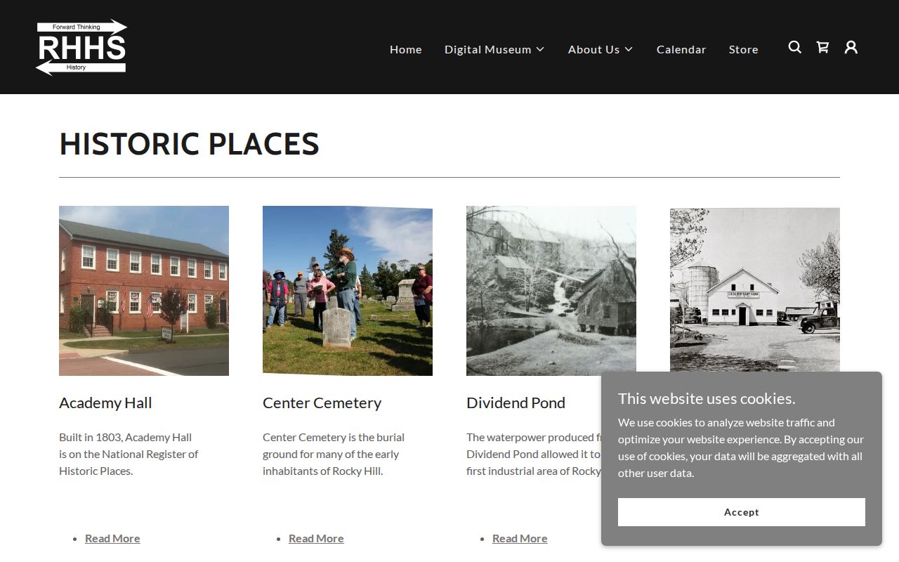
Academy Hall is a documented place anchor. It helps describe Rocky Hill’s local geography without exposing a private neighbor roster.